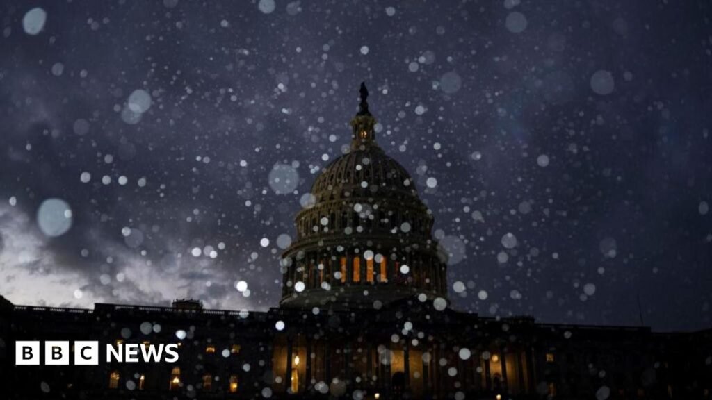
“For some, this could be the heaviest snowfall in a decade,” the National Oceanic and Atmospheric Administration said.
AccuWeather forecaster Dan DePadvin said, “This could lead to the coldest January in the US since 2011.”
He added that “temperatures well below the average for the past period” could persist for a week.
Such low temperatures will also be on the east coast, where the storm is expected until Sunday evening.
According to the NWS, the central US will experience “significant disruptions to daily life” and “dangerous or impossible traffic conditions and widespread closures” through Sunday.
At least 8 inches (20.3 cm) of snow fell in parts of Kansas and Indiana.
A blizzard is possible in places in the Midwest.
“Outage conditions will make travel extremely hazardous, with impassable roads and a high risk of stranded motorists,” the NWS warned.
Sleet and freezing rain are forecast for Missouri, Illinois, and parts of Kentucky and West Virginia.
Millions more Americans will see record low temperatures as the storm moves east, forecasters said.
Cities including Washington, Baltimore and Philadelphia are bracing for snow and ice Sunday through Monday. Parts of Virginia could see 5 to 12 inches of snow.
Also on Sunday in the southern United States, including Arkansas, Louisiana and Mississippi, strong thunderstorms may pass.
Private meteorologist Ryan Maue said: “It’s going to be a mess, a potential disaster. It’s something we haven’t seen in a long time.”
American, Delta, Southwest and United are waiving transfer fees for passengers due to potential flight disruptions.

