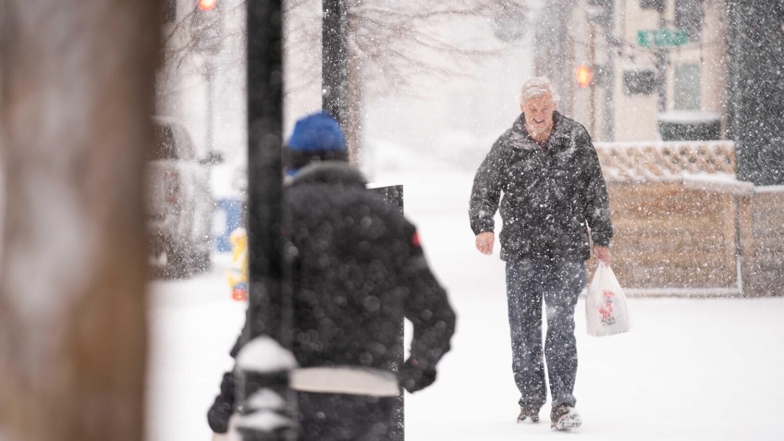
As deep winter cold begins to cover the northern half of the country, a new major winter storm will move across the US this weekend into early next week.
About 60 million Americans from the Dakotas to Delaware were under a winter weather alert Saturday afternoon, with many expecting the storm to last into Monday, stretching from Kansas to the East Coast.
This number covers New York State’s lake effect snow event, where three feet or more of snow has already fallen and is continuing in areas around and north of Utica, New York.

The storm is following Interstate 70 in St. Louis, where heavy snow and ice is possible Saturday night into Sunday.
By Sunday, several cities from the Ohio Valley to the mid-Atlantic could face hazardous travel as ice and snow move eastward.

Roads in Nebraska and Kansas were frozen over Saturday and snow was forecast on top of that.
Kansas City International Airport temporarily closed the airport Saturday afternoon due to ice accumulation.
“Work will continue through the night to keep the airport clean,” Kansas City Mayor Quinton Lucas said in a statement about Xi.
Power outages can be expected in areas with the heaviest ice and snow.
Additionally, damaging winds and tornadoes are possible along with hail in southern Louisiana, Mississippi, and Arkansas.
Virginia Governor Glenn Youngkin declared a state of emergency late Friday ahead of the expected storm.
“Given the current projected size of the storm, if your post-holiday travel plans will leave you on Sunday, I encourage you to adjust those plans to leave on Saturday,” Youngkin said.

Kentucky Governor Andy Beshear also declared a state of emergency on Saturday and began opening warming centers across the state. The governor said there were concerns about power loss due to ice and snow accumulation on trees.
“If we lose power, starting Tuesday, especially for some of our most vulnerable Kentuckians, it’s going to get cold enough to where you need one of those warming centers,” he said.
“If you must find yourself on the roads, please heed the warnings and make sure you keep yourself and others safe,” the governor added. “Our pre-treatment preparations are underway and large state and local resources will continue to actively monitor the forecast and respond throughout the weekend.”
Maryland Governor Wes Moore issued a state of preparedness Saturday evening to prepare for the storm.
“Maryland, avoid travel if possible, follow local forecasts and be prepared for winter storm hazards,” he said in a statement.
By Sunday night, the snow could move into Washington, leading to a dangerous commute across the mid-Atlantic on Monday morning, with several inches of snow possible.
Baltimore and Philadelphia have the potential to see five inches of snow or more.

A part of the polar vortex It will bring temperatures 10 to 25 degrees above normal for the eastern half of the US by the middle of next week.
After the storm moves offshore, bitter cold air will move in behind it, bringing sub-zero wind chills through next week.
The wind chill — what the temperature feels like — could dip below zero from the Midwest to the Northeast, and subfreezing temperatures are forecast as far south as Florida.

