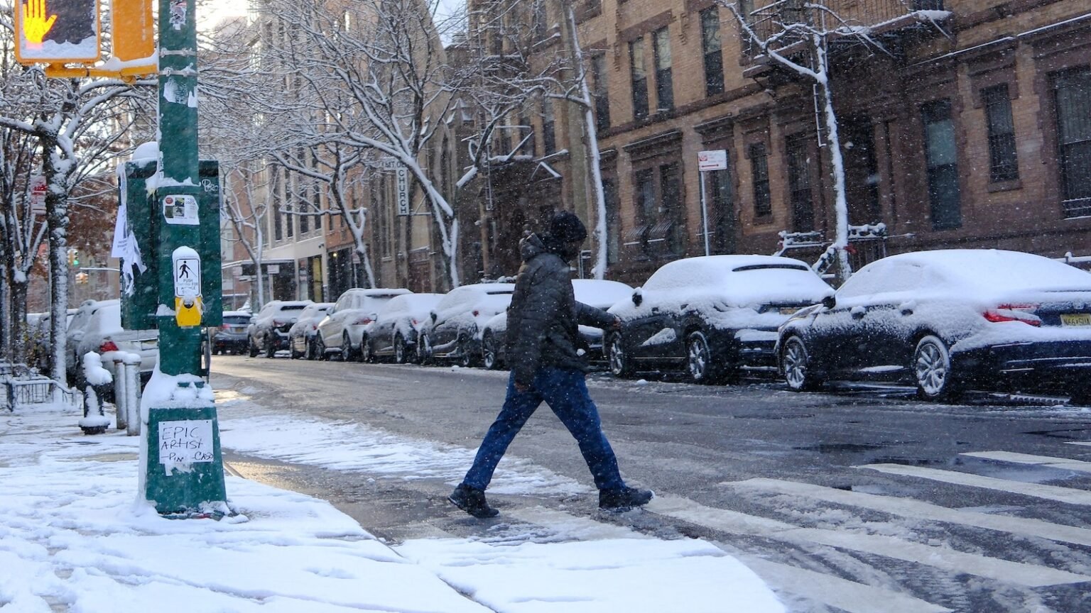
New Yorkers are waking up to New York’s first white Christmas in 15 years.
The National Weather Service considers it a white Christmas if there is an inch or more of snow on the ground at 7 a.m. on Christmas morning. The snow that fell in New York on Tuesday morning didn’t melt overnight, leaving Central Park at 7 a.m. Wednesday with 1 inch etched on the ground.
The last white Christmas in New York was in 2009, when there was 2 inches of snow.
Boston is also having a white Christmas this year, with 4 inches of snow on the ground.
Most of the snow will melt slowly because it will colder than normal Christmas Day and Thursday.
Warmer weather is forecast for the weekend, with temperatures in the 40s in New York and the 50s in Chicago.
Meanwhile, the West Coast continues to be battered by an endless parade of storms that will bring huge waves, strong winds, heavy rain and mountain snow.
In Oregon and Washington, winds can reach 65 mph on Christmas Day.
River flooding is possible this week in western Washington and Oregon; some areas could see 6 to 12 inches of rain over the next five days.
A winter storm warning has been issued for Washington’s Cascade Mountains, where up to 3 feet of snow could accumulate over the next 24 to 36 hours. A winter storm watch was issued for the northern Rockies, including Wyoming and Idaho, where 2 feet of snow is possible over the next two days.
The Unusual West Coast waves Some of the 40- to 60-foot swells have subsided, but California could still see 20- to 30-foot waves Thursday.
In the South, a new round of severe weather will move in Thursday afternoon and evening, bringing a high threat of tornadoes, hail and damaging winds. Flooding is also possible.
Dallas, Houston and Shreveport, Louisiana are in the path of severe weather.

